PURCHASE IMAGE REPRODUCTION
We're sorry, reproductions for this item are currently not available through our online ordering system. You may still in most cases order reproductions by contacting the holding institution directly.
PHILADELPHIA STREETS DEPARTMENT, SURVEY AND DESIGNS BUREAU
Frank Morelli
Survey Bureau Manager
Philadelphia Streets Dept.
Phone: (215) 686-5540
Email: frank.morelli@phila.gov
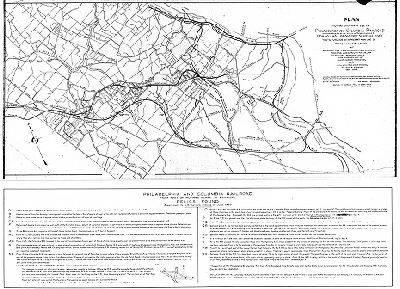
Plan, Plan showing location of line of Philadelphia and Columbia Railroad (as constructed by the State of Pennsylvania) from Columbia Bridge over Schuylkill River to its junction with present Main Line of Pennsylvania Railroad at Anderson's Lane, later Athensville, now Ardmore. Traced for John C. Trautwine Jr., from T. H. Mueller's reproduction of John Levering's map of Lower Merion Township, 1851, with data from other sources, by Chas. R. Barker, 1920, June.
Original size: 36 x 49 in. (estimated)