PURCHASE IMAGE REPRODUCTION
We're sorry, reproductions for this item are currently not available through our online ordering system. You may still in most cases order reproductions by contacting the holding institution directly.
PHILADELPHIA STREETS DEPARTMENT, SURVEY AND DESIGNS BUREAU
Frank Morelli
Survey Bureau Manager
Philadelphia Streets Dept.
Phone: (215) 686-5540
Email: frank.morelli@phila.gov
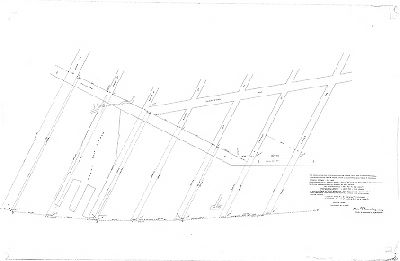
Plan, Plan of the Port Warden’s line on the Delaware River from Snyder Avenue to Oregon Avenue, established by ordinance of Councils approved May 18, 1886, showing the computed positions of the line with reference to city streets. Calculations by C. A. Trik, October 13, 1890, from data of city coordinates computed by Neville B. Craig in connection with U.S. Coast and Geodetic Survey October 1889. [Title transcribed fromCity Archives Record Group 90.14 Index, page 451]
Original size: 31 x 47 in. (estimated)