PURCHASE IMAGE REPRODUCTION
We're sorry, reproductions for this item are currently not available through our online ordering system. You may still in most cases order reproductions by contacting the holding institution directly.
PHILADELPHIA STREETS DEPARTMENT, SURVEY AND DESIGNS BUREAU
Frank Morelli
Survey Bureau Manager
Philadelphia Streets Dept.
Phone: (215) 686-5540
Email: frank.morelli@phila.gov
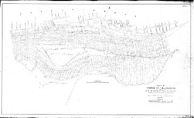
Plan, Sheet No. 2. Map of the Harbor of Philadelphia from west end of Petty Island to Fishers Point showing the established harbor lines. Made under the direction of Major C. W. Raymond, Corps of Engineers, USA. April 1894. [Second of two sheets]
Original size: 35 x 57 in. (estimated)