PURCHASE IMAGE REPRODUCTION
We're sorry, reproductions for this item are currently not available through our online ordering system. You may still in most cases order reproductions by contacting the holding institution directly.
PHILADELPHIA STREETS DEPARTMENT, SURVEY AND DESIGNS BUREAU
Frank Morelli
Survey Bureau Manager
Philadelphia Streets Dept.
Phone: (215) 686-5540
Email: frank.morelli@phila.gov
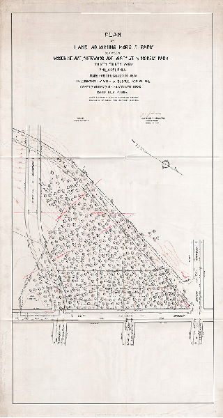
Plan, Plan of land adjoining Morris Park between Woodbine, Sherwood Ave., 66th St. and Morris Park, Thirty-fourth Ward, Philadelphia. Made for the Board of View in conformity with a resolution of the Commissioners of Fairmount park dated July 12, 1916. Lines and grades of streets confirmed 1-4-1909. Boundaries of Morris Park confirmed 12-29-1915.
Original size: 23 x 44 in. (estimated)